Delhi Flood Safety Plan 2026: Delhi Govt Prepares Flood Control Plan Before Monsoon
Delhi unveils a detailed flood safety plan for the 2026 monsoon, emphasising drain desilting, embankment upgrades, Yamuna carrying capacity studies, floodplain mapping, and a cross-department monitoring committee to enable faster, coordinated action during heavy rainfall.

Delhi authorities outline a detailed Delhi flood safety plan before the 2026 monsoon, promising faster action and closer coordination. The Irrigation and Flood Control Department has briefed the National Green Tribunal on work ranging from drain cleaning and embankment upgrades to new studies on Yamuna’s flow and fresh rules for managing floodplains.

AI-generated summary, reviewed by editors
To reduce confusion seen during the July 2023 flood, the Delhi government forms an inter-departmental monitoring committee under the chief secretary. This group links departments handling drains, embankments, traffic, power and disaster response. The aim is quicker decisions during heavy rain and clearer responsibility when Yamuna water rises.
Delhi flood preparedness through drain desilting and channel control
A key Delhi flood measure is large-scale desilting in 77 drains under the department’s control. Officials state that over 20 lakh metric tonnes of silt is being removed, with a deadline of 15 June. The target is to clear choke points before strong monsoon showers so that water reaches the Yamuna faster and street flooding reduces.
The government informs the NGT that 14 drains already have flood control regulators, with installation underway on remaining channels. These regulators help manage sudden inflows into Yamuna-linked drains during a Delhi flood. After the July 2023 flood, maintenance of all drains falling into Yamuna, plus city waterbodies, shifts fully to the Irrigation and Flood Control Department.
Delhi flood risk mapping and Yamuna carrying capacity study
For long-term Delhi flood planning, the Central Water and Power Research Station in Pune is preparing a hybrid model study for Yamuna. This scientific assessment, expected by August, will test how the river behaves under different rain and release scenarios. Findings will guide decisions on embankment design, channel deepening and development controls along the river.
Parallel to that, a 1-metre contour map of Yamuna floodplains is being created, based on the highest flood level expected once in 100 years. This map, due by 31 August, should fix clear floodplain boundaries. It will help planners decide which zones need restrictions, what land can be used safely and where emergency access corridors must stay open.
Delhi flood monitoring with Yamuna capacity models and SCADA systems
The government says the Central Water Commission has used the HEC-RAS model to study Yamuna’s carrying capacity from Hathnikund Barrage to the Delhi-Haryana border, covering about 202 kilometres. Initial estimates show capacity varying between 1,000 and 30,000 cumecs in different stretches, influenced by embankments and local channel conditions.
However, the model currently faces data gaps because Haryana’s Irrigation Department has shared only limited figures. Some outputs are therefore inconsistent. The model has been returned to Haryana for better input data, so that Delhi flood projections become more reliable. In extreme flood situations, extra water in certain locations is handled by the Haryana administration.
On the ground, short-term Delhi flood works include raising embankment levels on the right bank near ORB and Neeli Chatri before monsoon. The embankment stretch from Haathi Ghat to Drain 12 regulator is already complete and operational. Authorities say SCADA-based real-time monitoring systems are being installed or upgraded at barrages and key drains.
River and drain gauges are being fixed to GTS benchmarks for more accurate readings of water levels. This should allow early warnings when Yamuna or connected drains begin to swell. Officials argue that with scientific studies, strengthened embankments, extra regulators and a high-level coordination committee in place, this year’s preparations for a Delhi flood are more structured, though the real test will come after 15 June and the first intense monsoon spell.
| Measure | Delhi flood-related details | Timeline / Status |
|---|---|---|
| Drain desilting | 77 drains, over 20 lakh metric tonnes of silt removal | Target completion by 15 June |
| Yamuna capacity study | HEC-RAS model, Hathnikund Barrage to Delhi-Haryana border (about 202 km) | Initial results received; model sent back to Haryana for better data |
| Hybrid model study | Scientific assessment by Central Water and Power Research Station | Report expected by August |
| Floodplain contour mapping | 1-metre contour map using 100-year flood level | Likely completion by 31 August |
| Embankment works | Right bank near ORB, Neeli Chatri; Haathi Ghat to Drain 12 regulator | Main stretch completed; height-raising targeted before monsoon |
| Monitoring systems | SCADA, real-time gauges linked to GTS benchmarks | Being installed or upgraded at barrages and drains |
| Coordination | Inter-departmental monitoring committee under chief secretary | Formed; responsible for integrated Delhi flood management |
-
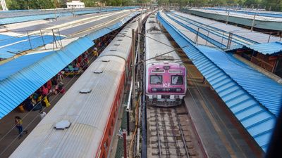 Bengaluru to Hyderabad Travel Set to Get Faster with 130 kmph Rail Upgrade, Travel Time to Drop
 -
 Gold Rate Today 3 April 2026: Latest IBJA Rates, Tanishq, Kalyan Jewellers, Malabar, Joyalukkas 22K Prices
 -
 Earthquake Tremors Felt In Delhi-NCR, Parts Of North India After 5.9-Magnitude Afghanistan Quake
 -
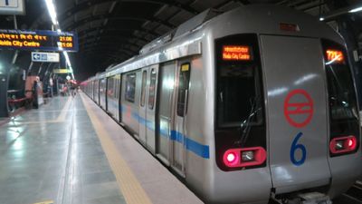 Delhi Metro Rail Corporation Announces 3:00 AM Start On April 5 for PNB Soldierathon Marathon
 -
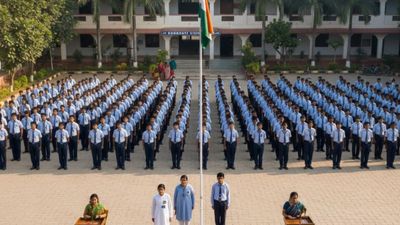 School Assembly News Headlines Today April 03: Top National, International, Sports, Business News
 -
 Meghalaya Board Class 10 Result 2026 on April 7 at 11 AM: MBOSE SSLC Result Date, Time, How to Check
 -
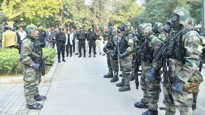 Civil Defence Mock Drill in Delhi At 8 PM Today: Full Schedule of Locations and Timings Released
 -
 India to Attend Global Summit on Hormuz Crisis Amid Rising Tensions
 -
 Gold Silver Rate Today, 2 April 2026: City-Wise Prices, MCX Tracks Sharp Rise In Gold And Silver Across India
 -
 Gold Silver Rate Today, 3 April 2026: City-Wise Prices, MCX Gold Down, Silver Slides Amid Global Pullback
 -
 No Cause for Panic: Iran Reassures India on Hormuz Situation
 -
 Gold Rate Today 2 April 2026: Latest IBJA Gold Rates, Tanishq, Kalyan, Malabar, Joyalukkas 22K Prices


 Click it and Unblock the Notifications