Did Pakistan Ask The US To Correct India Map Showing No PoK And Aksai Chin? Here’s What Pak Official Said

- Pakistan says it contacted the US after a map posted by the US Trade Representative showed PoK and Aksai Chin as part of India.
- The map was shared alongside an India-US interim trade agreement framework and later deleted without explanation.
- Islamabad called the depiction "illegal" and said Washington corrected it after being alerted.
- The episode has sparked debate over whether the map was an error or a signal amid shifting India-US ties.

AI-generated summary, reviewed by editors
Pakistan has said it swiftly approached the United States after an official map posted online by the US Trade Representative (USTR) appeared to show Pakistan-occupied Kashmir (PoK) and Aksai Chin as Indian territory.
The map, shared on the USTR's official social media account last week, was later removed, prompting diplomatic discussion and speculation over its implications.
Pakistan claims it sought correction from US
During a media briefing, Pakistan's foreign ministry confirmed that it raised the issue with US authorities soon after the map surfaced. According to Islamabad, the depiction contradicted its long-standing position on Kashmir and required immediate correction.
Foreign ministry spokesperson Tahir Andrabi said Pakistan had formally contacted Washington and conveyed its objections. He stated that the US side subsequently removed the map after acknowledging concerns raised by Islamabad.
Andrabi said, "The map was put up by certain handles. We contacted the US authorities. They realised the map was 'illegal'."
He further added that "the international map on J&K... delineating Pakistan and Indian territories is legally sanctified by the United Nations," and noted with satisfaction that the US made the "requisite correction" by deleting the post.
The map had been posted alongside an announcement about an interim trade agreement framework between India and the United States, giving the issue wider diplomatic attention.
Why the map triggered controversy?
The depiction quickly drew attention because it marked a departure from the way US agencies have traditionally represented the region. In most official US maps, Pakistan-occupied Kashmir is shown with a separate or disputed boundary marking rather than being depicted fully within Indian territory.
The now-deleted graphic, however, appeared to show:
- The entire region of Jammu and Kashmir within India's borders
- Aksai Chin marked as Indian territory
- No separate demarcation reflecting Pakistan's claim over PoK
This led to speculation over whether the map was posted in error or represented a shift in cartographic depiction amid evolving India-US relations.
India's consistent stand on territorial claims
India has long maintained that the entire Union Territory of Jammu and Kashmir, including areas under Pakistan's control, is an integral and inalienable part of the country. New Delhi also asserts that Aksai Chin belongs to India, citing historical agreements and territorial claims.
The Ministry of External Affairs has repeatedly objected to what it calls inaccurate or misleading international maps that depict India's borders differently, particularly in reference to Jammu and Kashmir and Arunachal Pradesh.
Indian officials have in the past raised concerns with foreign governments and global organisations over map representations that do not reflect India's stated territorial position.
Debate over timing and diplomatic signals
The removal of the map has sparked discussion among observers about whether the original post was merely a cartographic oversight or carried broader diplomatic messaging. The development comes at a time when India and the United States are working to strengthen economic and strategic ties after periods of trade friction.
Some analysts view the map's appearance alongside a trade-related announcement as significant, while others believe it may have been an unintentional error quickly corrected after diplomatic feedback.
Congress Raises Concern:
In the latest development, Congress leader- Pawan Khera - posted on the social media platform X, and said: "A spokesperson of Pakistan's Foreign Office claimed credit for the deletion of an Indian map by the United States - a map that depicted the entire region of Jammu and Kashmir, including Pakistan-occupied Kashmir (PoK), as part of India."
He added, "Yet we haven't heard a word on this from our Ministry of External Affairs.
I have asked this before, and I will ask it again: What exactly does the 'Forum Minister'
@DrSJaishankar
do? Is his job limited to delivering speeches at international fora or does it also include doing some substantive work for India's interests?"
-
 Gold Rate Today 2 April 2026: Latest IBJA Gold Rates, Tanishq, Kalyan, Malabar, Joyalukkas 22K Prices
 -
 Can Raghav Chadha Be The PM? How His Parliament Speeches On Real Issues Won Public Attention
 -
 Who Is Ashok Mittal? The Man Replacing Raghav Chadha In Rajya Sabha, From Sweet Shop Roots to Parliament
 -
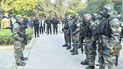 Civil Defence Mock Drill in Delhi At 8 PM Today: Full Schedule of Locations and Timings Released
 -
 Hyderabad Gold Silver Rate Today, 2 April 2026: Know Latest Gold and Silver Prices In Nizam City
 -
 Purple Halcyon Aka Ashwani A: Who Is This Instagram Viral Girl Earning ₹70 Lakh via Subscriptions?
 -
 From Where Will Annamalai Contest TN Elections - Coimbatore North or Modakurichi?
 -
 Gold Rate In Bangalore Today, 2 April 2026: IBJA Benchmark Rates, Bhima, Abharan, Jos Alukkas, GRT Prices
 -
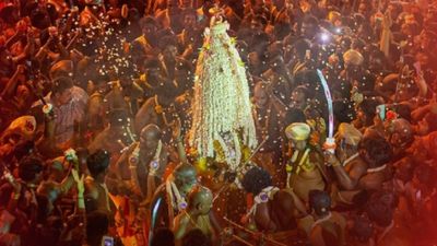 Bengaluru Karaga 2026: 26-km Midnight Procession Draws Lakhs as Tradition, Devotion Light Up City
 -
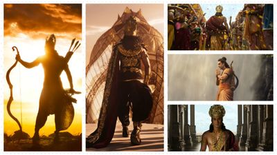 Ramayana Teaser Review: Epic Ambition Meets Work-in-Progress Visuals As Ranbir Silences Critics
 -
 April 3 Dry Day In Tamil Nadu Or Not? Status of Bars, TASMAC & Liquor Shops On Good Friday
 -
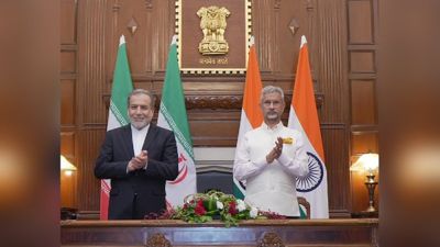 No Cause for Panic: Iran Reassures India on Hormuz Situation


 Click it and Unblock the Notifications